Completed 2024 National Groundwater Systems


The project developed new national coverages to constrain groundwater systems and improved data standards and workflows of groundwater assessment.
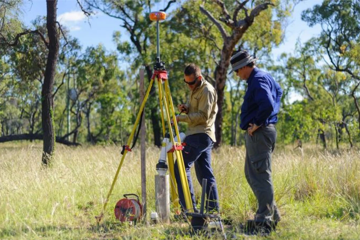
Through a phased inventory of Australia's groundwater systems in onshore basins, this project standardised datasets and information, including principal aquifers and key groundwater dependent assets. The project has developed a national understanding of groundwater systems that integrates available geoscience data and emerging technologies to better characterise and manage groundwater supply across vast areas of arid Australia.
Web-based delivery, visualisation and analysis of hydrogeological information complements the work of groundwater authorities and improves the accessibility of groundwater science and data for communities and decision-makers.
The National Groundwater Systems project was divided into 3 research areas designed to undertake the following project activities:
This project activity developed a national geoscientific inventory of Australia's groundwater systems. Some of the key activities included delivery of an updated 'State of knowledge' assessment for the major hydrogeological basins across the country. Identifying and documenting important data and knowledge gaps during this assessment assists with prioritising future groundwater investigations in these regions. Subsequent work included a series of detailed groundwater system inventories for high priority basins identified from the 'State of knowledge' evaluation.
This project activity consisted of a number of activities that aimed to consolidate, document and advance science workflows, data processing, existing national groundwater data and information:
This project activity facilitated groundwater data integration and accessibility, developed nationally consistent datasets and map products, and drafted leading practice guidelines. Activities included:
Project outputs are available on this page and the Exploring for the Future Data Discovery Portal.
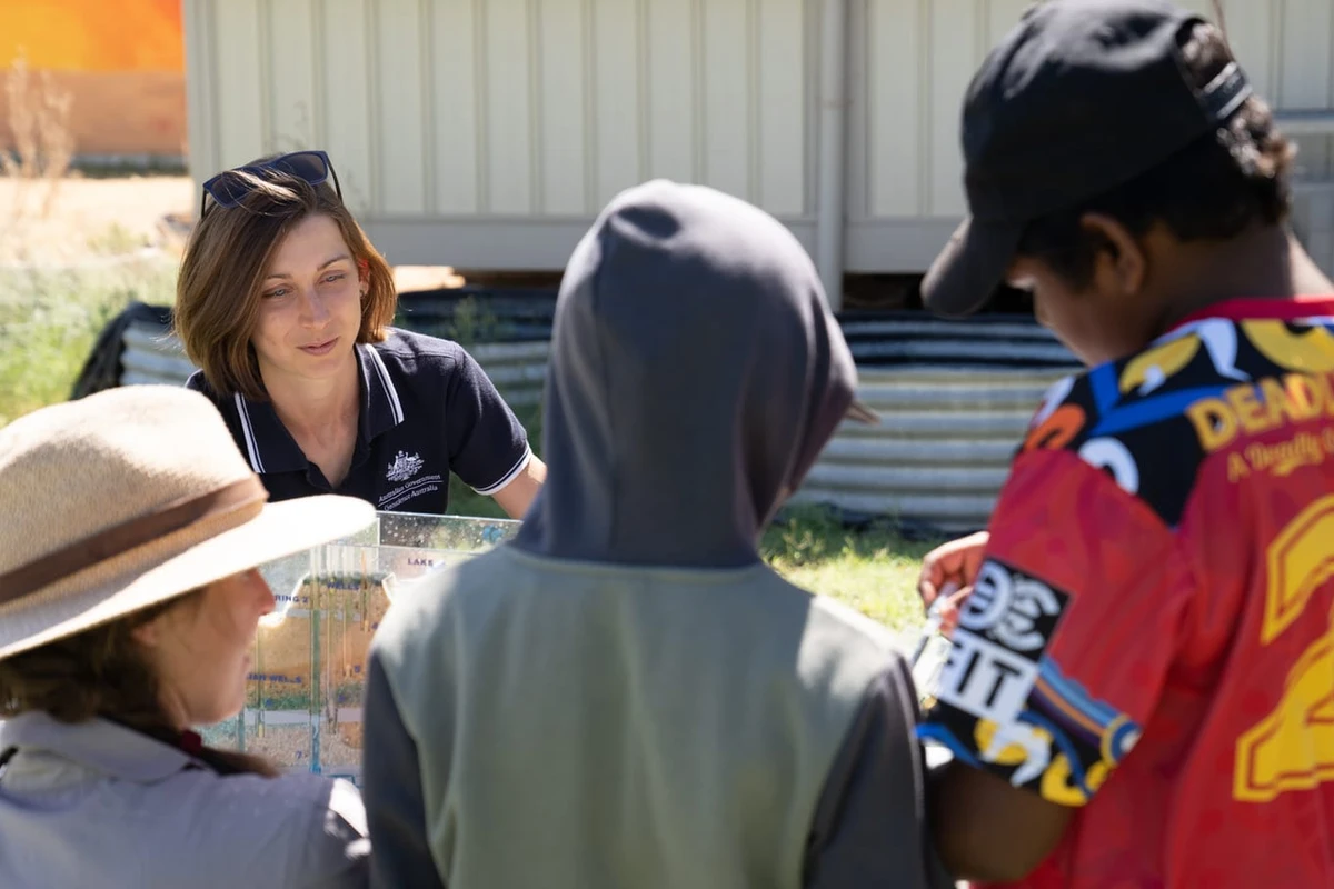
Geoscience Australia acknowledges all landholders and communities who support our work in rural, regional and remote Australia.

Geoscience Australia is committed to land, air and marine access best practice and to protecting cultural heritage and the environment.
We thank the people and communities who collaborate with us to ensure the success of the Exploring for the Future program.
Geoscience Australia activities are not undertaken on behalf of any exploration company; we work for the benefit of all Australians.
All data produced by Geoscience Australia, including the data from this project, is publicly available after quality assurance has been performed.
For more information or general enquiries, please email clientservices@ga.gov.au

The Exploring for the Future program (2020-24) focused on 8 interrelated projects, united in growing our understanding of Australia's geology.
Deep-dive
Three deep-dive projects in potentially resource-rich corridors identified in the east and west of Australia: Darling-Curnamona-Delamerian, Officer-Musgrave-Birrindudu and Barkly-Isa-Georgetown projects.
National
Three national projects with a focus on southern Australia: Australia's Resources Framework, National Groundwater Systems and Australia's Future Energy Resources projects.
Program support
Two program support projects: Enhanced Data Delivery and Geoscience Knowledge Sharing projects.