Completed 2024 Darling–Curnamona–Delamerian


By gathering, analysing and providing precompetitive geoscience data and information, we are building a national picture of Australia's geology and resource potential to support our transition to net zero and ensure a strong economy, sustainable resources, and agriculture sectors for the benefit of all Australians.
The Darling–Curnamona–Delamerian project was designed to help ensure mineral discovery and water resource sustainability into the future, and support the viability of the mining, agricultural and pastoral communities in southeastern Australia.
The Curnamona Province* is an ancient (Paleo-Mesoproterozoic) geological region that underlies the New South Wales-South Australian border region with rich mineral wealth potential similar to the Gawler Craton (South Australia) and Mount Isa Block (Queensland). The Curnamona Province hosts the world-class Broken Hill lead-zinc-silver-gold mine that has operated continuously since 1885, underpinning much of the local economy, and numerous smaller ore deposits, including gold, silver, lead, zinc, copper and critical minerals like cobalt.
The Delamerian Orogen** wraps around the eastern Curnamona Province in New South Wales and South Australia and extends through Victoria into Tasmania. This younger (Neoproterozoic to early Paleozoic) continental collision zone lies mostly under cover of younger Australian sedimentary basins. The Delamerian Orogen hosts high quality mineral deposits, including gold, copper, lead and zinc. This project assessed the mineral potential undercover in the Curnamona Province and Delamerian Orogen.
The pastoral and agricultural sectors are important contributors to communities and the local economy in the region. In support of these sectors, the project also investigated the groundwater potential of overlying basins, including the Murray–Darling Basin, with a focus on the upper Darling-Baaka River floodplain. In the Darling region, potable water supply to some towns is threatened during dry periods, and shallow saline groundwater threatens the ecosystem health of the Darling-Baaka River. The Darling–Curnamona–Delamerian project sought to identify new groundwater resources and assess the potential for groundwater storage in the region to support groundwater management and improve drought resilience in communities.
Project activities included:
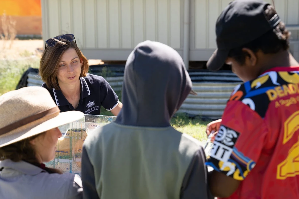
The Darling–Curnamona–Delamerian project involved extensive stakeholder engagement, including state and local government agencies, landholders and Traditional Owner groups. Data acquisition activities commenced in early 2021 with the eastern corridor AusAEM survey followed by further aerial and on-ground acquisition activities concluded in 2023 as outlined below.
* Geological province is a term used by geologists to describe a large area that encompasses a natural geological feature where the rocks have a common geological history, such as a sedimentary basin, a fold belt or a mountain range.
** Orogen is a term used by geologists to describe a group of rocks with a common geological history, formed by geological mountain building events, which may now be eroded flat and buried.
The project incorporated a number of study areas and activities, including:
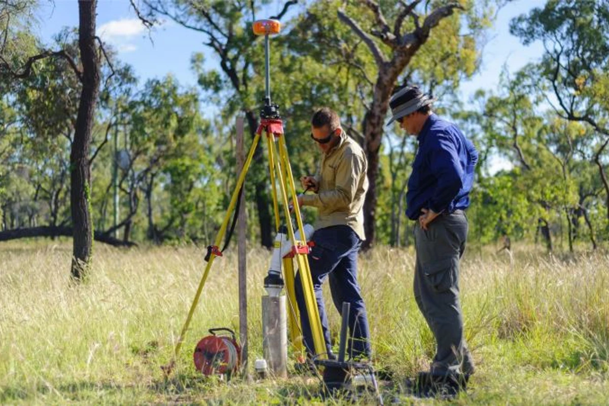
The Upper Darling-Baaka River floodplain groundwater study acquired multi-scale airborne electromagnetic (AEM) data, followed by non-intrusive surface geophysics (surface magnetic resonance), groundwater hydrogeochemistry and borehole geophysics across the Upper Darling-Baaka River floodplain to assess groundwater quality and levels. Results help build drought resilience by identifying potential new groundwater resources, managed aquifer recharge opportunities and complementing salt interception schemes and weirs.
For more information about the study, please visit the Upper Darling-Baaka River floodplain groundwater study page.
Airborne electromagnetic (AEM) surveys used fixed-wing aircraft or helicopters to acquire a total of 14,509 line kilometres of new data over South Australia, New South Wales and Victoria. The survey was conducted on east-west lines spaced 2.5 km and 5 km apart. The data from this survey provides new insights into landscape features with implications for groundwater and geomorphology.
Seismic data was acquired to map geology to the base of the Earth's crust and help interpret the geological history of the study area. This involved mapping important crustal boundaries, including the structure of the Delamerian margin, which runs through New South Wales, South Australia and Victoria, separating older rocks of the Gawler Craton and Curnamona Province from younger rocks of the Lachlan Fold Belt (Tasmanides).

Map of south-eastern Australia, showing 5 deep crustal reflection seismic lines acquired by Geoscience Australia as part of the Exploring for the Future's Darling-Curnamona-Delamerian project
The magnetotelluric (MT) survey acquired audio and broadband data at sites approximately 12.5 km - 25 km apart, continuing the grid of the AuScope Curnamona Cube Programeastwards from the Curnamona Province. The data measures the Earth's natural magnetic and electric fields to better define crustal conductivity structures in the Delamerian Orogen. This has significance for mineral potential, by providing clues to prospective areas.
This geochemical study investigated the chemistry of rocks and groundwater across the Curnamona Province and overlying geology. Using new and existing geochemistry, the study sought to define regional baselines and explore the application of these for identifying mineral potential under cover.
For more information about the study, please visit the Curnamona Geochemistry page.
This work included integration of new and existing geoscience data to deliver insights into the region's geology and evolution through time. Mineral resource potential assessments were developed for a range of commodities, including copper, gold and critical minerals important for economic development.
Targeted scientific drilling was undertaken from March to June 2023, to help improve geological knowledge between Broken Hill and Wentworth, New South Wales, as part of the MinEx CRC National Drilling Initiative. The rocks were analysed to better understand the geology and its geochemical and geophysical character structures. This informs the regional geological framework and mineral potential assessments.
For more information, please visit the Delamerian Margins page.
Geoscience Australia acknowledges all landholders and communities who support our work in rural, regional and remote Australia.

Geoscience Australia is committed to land, air and marine access best practice and to protecting cultural heritage and the environment.
We thank the people and communities who collaborate with us to ensure the success of the Exploring for the Future program.
Geoscience Australia activities are not undertaken on behalf of any exploration company; we work for the benefit of all Australians.
All data produced by Geoscience Australia, including the data from this project, is publicly available after quality assurance has been performed.
For more information or general enquiries, please email clientservices@ga.gov.au

The Exploring for the Future program (2020-24) focused on 8 interrelated projects, united in growing our understanding of Australia's geology.
Deep-dive
Three deep-dive projects in potentially resource-rich corridors identified in the east and west of Australia: Darling-Curnamona-Delamerian, Officer-Musgrave-Birrindudu and Barkly-Isa-Georgetown projects.
National
Three national projects with a focus on southern Australia: Australia's Resources Framework, National Groundwater Systems and Australia's Future Energy Resources projects.
Program support
Two program support projects: Enhanced Data Delivery and Geoscience Knowledge Sharing projects.