AusArray
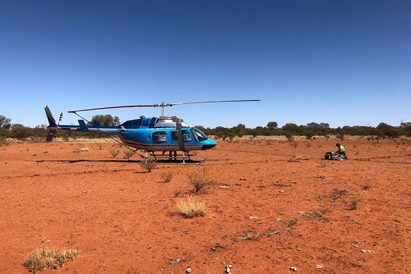
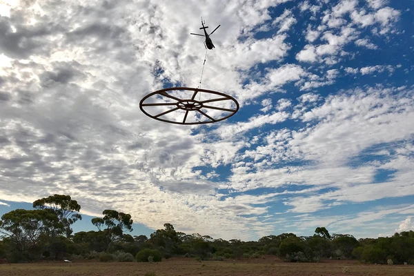
The Australian Passive Seismic Array Project (AusArray) is a collaborative, national survey between government and academia that acquires passive seismic data.

Geochronology and Isotopic Mapping
The Geochronology and Isotopic Mapping component of the Exploring for the Future program provided key isotopic datasets in both tabulated compilations, and map form for visualisation with other geological datasets.

Layered Geology Mapping
Compiling a layered seamless subsurface (solid geology) map of Australia for the geological eras: Cenozoic, Mesozoic, Paleozoic, Neoproterozoic and pre-Neoproterozoic.

Economic Fairways
Informing resource development projects across Australia.

National Geochemical Framework
The surface of the Australian continent can provide valuable insights into the environmental, economic and agricultural landscape of the country, enabling informed decision-making for a range of industries. The National Geochemical Framework study primarily focuses on the rich archive of samples and data housed at Geoscience Australia.

AusLAMP
The Australian Lithospheric Architecture Magnetotelluric Project (AusLAMP) is a collaborative, national survey that acquires long-period magnetotelluric (MT) data across Australian continental.

AusAEM
AusAEM is the world's largest airborne electromagnetic (AEM) survey undertaken. AusAEM started in 2017 in northern Australia and continues to be extended across the continent.

South Nicholson National Drilling Initiative
The South Nicholson National Drilling Initiative (NDI) Carrara 1 stratigraphic drill hole was completed in late 2020, as a collaboration between Geoscience Australia, the Northern Territory Geological Survey (NTGS) and the MinEx CRC. NDI Carrara 1 is the first drill hole to intersect the as yet undifferentiated Proterozoic rocks of the newly discovered Carrara Sub-basin.

Tennant Creek - Mt Isa Focus Area
The Tennant Creek to Mount Isa region hosts known mineral deposits in exposed Proterozoic rocks, most notably iron oxide copper-gold mineral systems in the Tennant Creek area, and basin-hosted base metals (zinc, lead) and uranium in the McArthur Basin.

A newly recognised 1860-1840 Ma tectono-magmatic domain in the North Australia Craton: Insights from the Tennant Region, East Tennant area, and the Murphy Inlier
Clark, A.D., Morrissey, L.J., Doublier, M.P., Kositcin, N., Schofield, A., Skirrow, R.G. Precambrian Research (2022)