Completed 2024 Barkly-Isa-Georgetown


Projects undertaken in the first 4 years of the Exploring for the Future program (2016 - 20) indicated promising areas of prospectivity for both minerals and hydrocarbons across the Tennant-Mount Isa region (TISA).
From 2020-22 the Barkly-Isa-Georgetown project built on this previous work with one of Australia's most comprehensive regional precompetitive geoscience campaigns.
Combining geophysical surveying, stratigraphic drilling and extensive analysis, the Barkly-Isa-Georgetown project tested geological interpretations and inferred mineral and energy potential in the areas between Tennant Creek, Mount Isa and Georgetown, successfully delivering new data and knowledge.
The results are underpinning more targeted exploration opportunities across these areas and have been linked to extensive tenement uptake in the East Tennant and South Nicholson regions.
A major focus for the Barkly-Isa-Georgetown project was the stratigraphic drilling campaigns and their analyses. Drilling campaigns were conducted in collaboration with MinEx CRC as part of the National Drilling Initiative (NDI) in the East Tennant and South Nicholson regions.
In addition to the drilling campaigns and associated work in the East Tennant and South Nicholson regions, the Barkly-Isa-Georgetown project included an expansion of magnetotelluric coverage in western Queensland as part of the Australian Lithospheric Architecture Magnetotelluric Project (AusLAMP). This includes coverage of the richly mineralised Mount Isa Province and covered extensions. The results are being integrated into precompetitive geoscientific coverages to facilitate the progression from stimulating exploration to supporting discovery.
A further focus area for the project was assessing opportunities for secondary prospectivity through the analysis of mine waste in Queensland's Northwest Minerals Province, identifying potential sites for retreatment and recovery of critical minerals. This work was expanded and continued as part of the National Mine Waste Assessment activity under the Australia's Resources Framework project.
The project incorporated several activities:
The Tennant Creek to Mount Isa region hosts known mineral deposits in exposed Proterozoic rocks, most notably iron oxide copper-gold mineral systems in the Tennant Creek area, and basin-hosted base metals (zinc, lead) and uranium in the McArthur Basin.
Detailed gravity and broadband magnetotelluric data acquired by the Exploring for the Future program revealed crustal-scale conductivity pathways that coincide with regional faults in the area east of Tennant Creek. These geophysical data guided the development of a stratigraphic drilling campaign. Extensive analyses of rocks from these drill-holes included geochemistry, petrology, and geochronology, providing new evidence of geology and mineral prospectivity in this covered terrane.
Learn more about the East Tennant National Drilling Initiative
Geoscience Australia has been undertaking Exploring for the Future program activities in the South Nicholson region since 2017, improving our geological understanding of this highly prospective region.
The National Drilling Initiative (NDI) completed the NDI Carrara 1 stratigraphic drill-hole in the South Nicholson region in late 2020, as a collaboration between Geoscience Australia, the Northern Territory Geological Survey (NTGS) and the MinEx CRC. NDI Carrara 1 provided unique insights into the energy and mineral resource potential of this frontier region.
Learn more about the South Nicholson National Drilling Initiative.
AusLAMP is a multi-year collaboration between Geoscience Australia, state and territory geological surveys, and research organisations to acquire magnetotelluric (MT) data on a 0.5° latitude/longitude grid (~55 x 55 km station spacing) across Australia. There are approximately 3,000 sites nationally, including around 600 sites in Queensland, at which magnetotelluric data will be acquired over the life of AusLAMP.
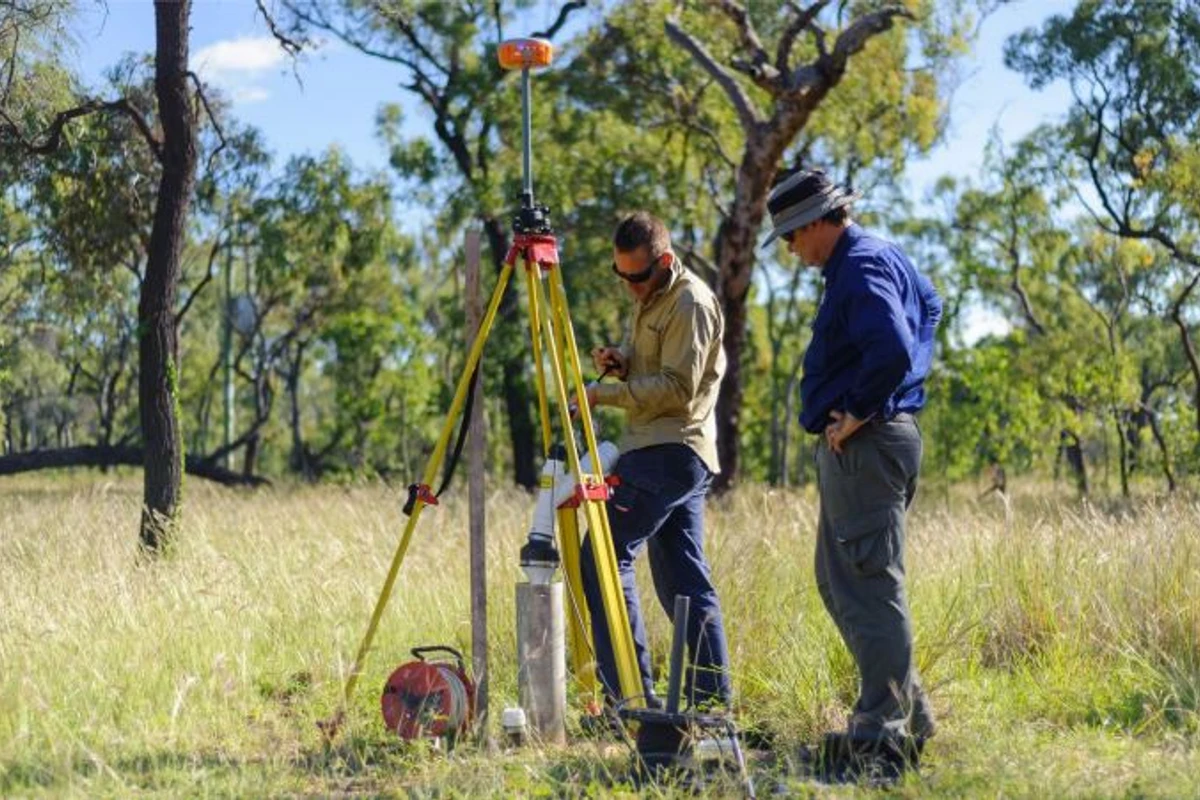
As part of the Barkly-Isa-Georgetown project, Geoscience Australia collaborated with the Geological Survey of Queensland to deploy magnetotelluric equipment at around 80 AusLAMP sites in western and northern Queensland.
Visit the AusLAMP page for more details about the national-scale AusLAMP project.
The Mine Waste Sampling and Analysis collaboration contributed to realising a circular economy for critical minerals from mining waste. Tailings dams and other mine waste are potential sources of the critical minerals that are essential for Australia's transition to net zero. As part of the Exploring for the Future program, Geoscience Australia undertook a national-scale audit of mine waste to identify their location and size, and to assess opportunities for re-treatment of waste to extract additional resources.
This activity was a collaboration with the Sustainable Minerals Institute at the University of Queensland, the Geological Survey of Queensland, Royal Melbourne Institute of Technology, the Geological Survey of New South Wales, the Northern Territory Geological Survey, the Geological Survey of South Australia and the Geological Survey of Victoria.
For more information on National Mine Waste Assessment, visit the Australia's Resources Framework project page.
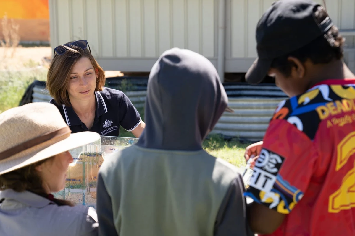
Geoscience Australia acknowledges all landholders and communities who support our work in rural, regional and remote Australia.

Geoscience Australia is committed to land, air and marine access best practice and to protecting cultural heritage and the environment.
We thank the people and communities who collaborate with us to ensure the success of the Exploring for the Future program.
Geoscience Australia activities are not undertaken on behalf of any exploration company; we work for the benefit of all Australians.
All data produced by Geoscience Australia, including the data from this project, is publicly available after quality assurance has been performed.
For more information or general enquiries, please email clientservices@ga.gov.au

The Exploring for the Future program (2020-24) focused on 8 interrelated projects, united in growing our understanding of Australia's geology.
Deep-dive
Three deep-dive projects in potentially resource-rich corridors identified in the east and west of Australia: Darling-Curnamona-Delamerian, Officer-Musgrave-Birrindudu and Barkly-Isa-Georgetown projects.
National
Three national projects with a focus on southern Australia: Australia's Resources Framework, National Groundwater Systems and Australia's Future Energy Resources projects.
Program support
Two program support projects: Enhanced Data Delivery and Geoscience Knowledge Sharing projects.